|
|
|
|

|
DATECS GIS Center provides and supports a wide range of digital maps and specialized GIS databases of Bulgaria, Sofia and other big cities in scale 1:5 000 (for all cities in Bulgaria) and 1:100 000 scale (whole country).
©Bulgaria-INFO 2016
Bulgaria-INFO Admin – administrative division of the country
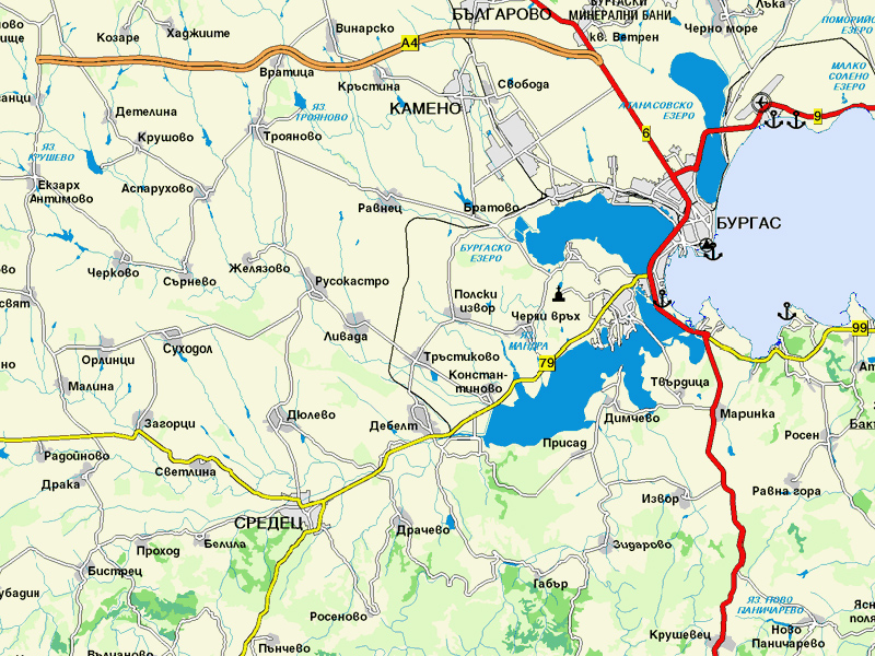
Bulgaria-INFO Transport – full transport network
Bulgaria-INFO Hydro – rivers, lakes, dams
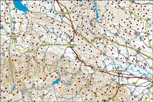
Bulgaria-INFO DEM – digital elevation model with contour lines by 100 m
Bulgaria-INFO City (Sofia, Plovdiv, Varna, Burgas, ...) – including all 257 cities and resort in Bulgaria
For more information, price lists or order, please contact us here
Bulgaria-INFO Admin
Geographical Data set for Bulgaria with administrative division on several levels:
municipalities, settlements, borders, regions, districts, at a scale of 1:100 000
Bulgaria-INFO Transport
Full transport network: highways, roads 1st, 2nd and 3rd class, railway lines, at a scale 1:100 000, with addition of all streets and transport links from all cities in the country (scale 1:5 000).
Scale: M 1:100 000
Map projection: UTM (WGS84); Cyrillic/Latin
Data format: MapInfo, Intergraph, ESRI, Excel/CSV, Txt and raster
Data set description
Hydrography and Digital Elevation Model
Bulgaria-INFO Hydro
Digital hydrographic model for the rivers, lakes and dams from topographic maps with a scale 1:100 000
Bulgaria-INFO DEM
Digital elevation model with contour lines by 100 m at scale 1:100 000.
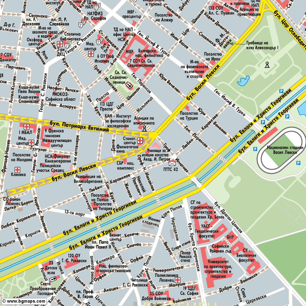
Bulgaria-INFO City (Sofia, Plovdiv, Varna, Burgas, ...)
– including all 257 cities and resort in Bulgaria
... 1993 ... The first geographical digital database for the city of Sofia, containing information about the streets with old and new names, areas, apartment blocks with their own entrances, public buildings, routes and stops of all lines of public transport ...
Now updated with a new complete and accurate geographic databases for all 257 cities and resorts in Bulgaria. Containing streets, housing estates, green areas, housing blocks with their numbers / addresses and public buildings.
Scale: M 1:5 000
Map projection: UTM (WGS84); Cyrillic/Latin
Data format: MapInfo, Intergraph, ESRI, Excel/CSV, Txt and raster
Data set description
National database for Adress geocoding
Over 341 000 the precise address of the 65 largest cities
Precise address of Sofia, Plovdiv, Varna, Bourgas, Pernik, Sliven, Haskovo, Yambol, Rousse, Gabrovo, Pazardjik, Haskovo, Stara Zagora, Shumen, Pleven, Dupnitsa, Kyustendil, Montana, Veliko Tarnovo, Vratsa, Kazanlak, Smolyan, Blagoevgrad, Vidin, Silistra, Petrich, Targovishte, Dimitrovgrad, Kardjali, Razgrad, Sandanski, Lovech, Bankya, Novi Iskar, Buhovo and other.
top
|
|
|